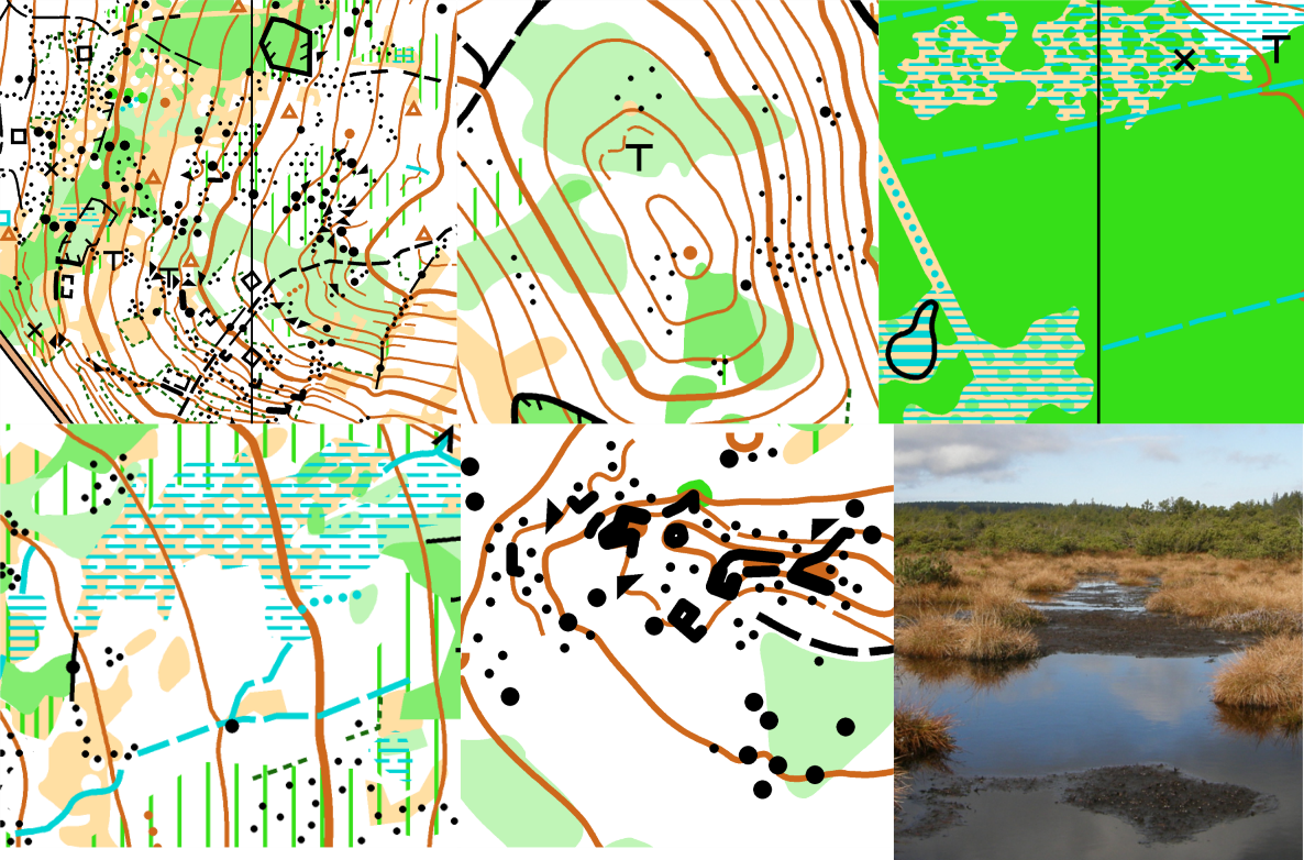
Hilly terrain with steep slopes, several stony areas and settlements ruins. Runnability ranges from clear open forest to dense vegetation areas. Marshy areas on the hilltop, with artificial water drains, mountain pine vegetation.
Embargoed area
The embargoed area is bounded by roads between villages Merklín, Pernink, Oldřichov, Lužec.
The southern border is bordered by hills Lužecký hřbet and Vlčinec.
marked on the map: https://mapy.cz/s/matehojuso
Previous maps
No old orienteering map covers this area.
Map samples: